Written by: Younis Azeem
Posted on: September 28, 2016 | 
Faisal Mosque, Islamabad
Almost six decades ago, in 1958, President Ayub Khan’s commission began looking for a more secure capital to replace the coastal city of Karachi. The following year, it recommended the stretch of land northeast of the city of Rawalpindi, in the foothills of the Margalla Hills. By 1966, the basic infrastructure was laid for what would eventually come to be known as Islamabad.
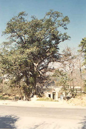
My father moved to Islamabad from neighboring Rawalpindi in 1975. My brother was born in the winter of 1986, and I, a decade later. This is a story of three generations who have experienced the changing face of Islamabad.
My father shifted to a house in sector F-6 of Islamabad, when the F-6 and F-7 sectors made up almost the entire city, along with Super and Jinnah Markets respectively. These sectors are now home to some of the most expensive real estate of the city. He fondly remembers the time when there were only 4 possible places to eat out: Mr. Chips, Golden Dragon, Kamran Restaurant and of course Islamabad Club. Places beyond F-7, including what would later become Blue Area, were for all purposes a jungle where wild animals lurked.
Fast forward a few years, and the ‘90s saw my brother growing up in this very city. There were almost three times as many people living in the capital now, although it was still a measly 529,180. The recently constructed Faisal Mosque soon became an iconic symbol of Islamabad, a popular spot for visitors. A host of new eateries began to open in order to capitalize on the growing population, including Pappasallis, the popular pizza joint, Dainty Fast Food (the best place for burgers in the city back then), Munchies which became famous for its Roll Parathas, and a corner shop selling Pan, which very creatively named itself Pan Corner. There were no underpasses or flyovers, and the developed Islamabad sectors extended only as far as F-10.
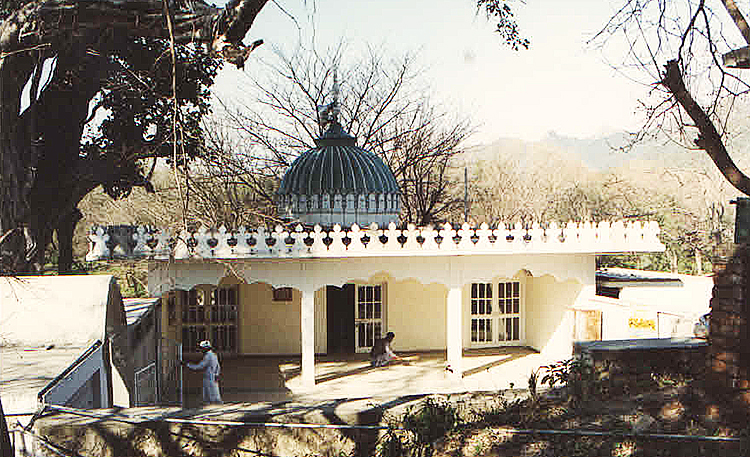
I grew up in the 2000s, and my memories of Islamabad include children going to play in the Japanese Park, a children’s park spread over 25 acres of land, traversing Super Market, Jinnah Super and Blue Area to find that perfect article of clothing, eating out at restaurants opened in residential areas such as the very famous Kitchen Cuisine and Zefra, exploring the enormous F-9 Park, and performing Jummah prayers in a quiet, empty Faisal Mosque. Construction was ongoing in sectors such as E-11, but it was more of a place for aspiring drivers to perfect their skills on the road.
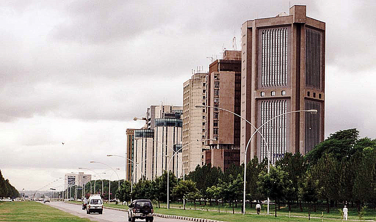
It’s 2016 now, and none of these three generations can relate to this new city. Populated sectors have spread to G-15 and F-17, while high rises have begun to mar the skyline. Centaurus, an enormous shopping mall, has come up in the Blue Area, while the Safa Gold Mall has been built in the Jinnah Market, in blatant disregard of the rules that forbid high rises outside the Blue Area.
The restaurants from my brother’s time, such as the once-famous Pappasallis, remain a ghost of their former self, while the Capital Development Authority has evicted restaurants and offices from the residential areas. What was once a single-lane Margalla Road that only my dad’s little Beatle frequented, is now a massive double artery connecting sectors all the way from F-5 to F-11. CDA has allowed plazas to be built that provide parking only on paper, and hence finding a parking spot has become very difficult in markets and the Blue Area.
International fast food chains now inhabit every sector in the city, while even a McDonald’s has opened in F-9 Park, a sector-wide green area where construction and business is illegal. Sadly, a year or so after a legal case against it, the fast food giant still remains in place, damaging both the health and environment of the city.
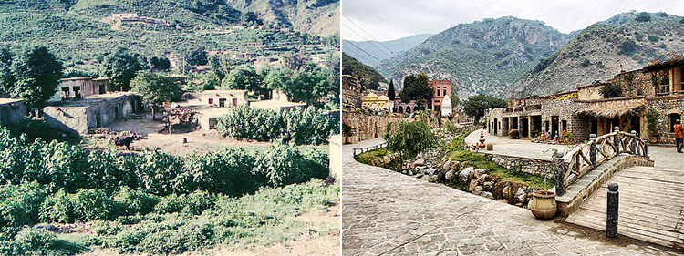
Margalla Hills National Park has fallen prey to unrestrained and poorly planned development. Construction of a well-lit and wide metal road through the Margalla Hills to restaurants like Monal and La Montana, has encouraged heavy traffic, resulting in incalculable damage to the flora, fauna and the wildlife of the National Park.
Rapid deforestation of the city has taken place, caused by the building of more roads, making way for the Metro bus or plain theft. The Margalla Hills National Park included areas like Bannigala and Shakarparian, but while Bannigala, which was a catchment area for the Rawal Lake, has been converted into a residential colony, Shakarparian has fallen prey to unnecessary construction, and acres of its forest cleared for Industrial Exhibition, which has now been converted into a parade ground. Not surprisingly, this deforestation has caused the temperature of Islamabad to go up a few centigrades.
As the population pressure builds up and the city expands, the challenge is to retain the green and clean environment of Islamabad. The three generations of our family recall the homely Islamabad we knew with nostalgia, as our quiet hometown has morphed into a bustling city with its attendant challenges.
You may also like: